Scaling up Connectivity in the Trifinio-Fraternidad Biosphere Reserve
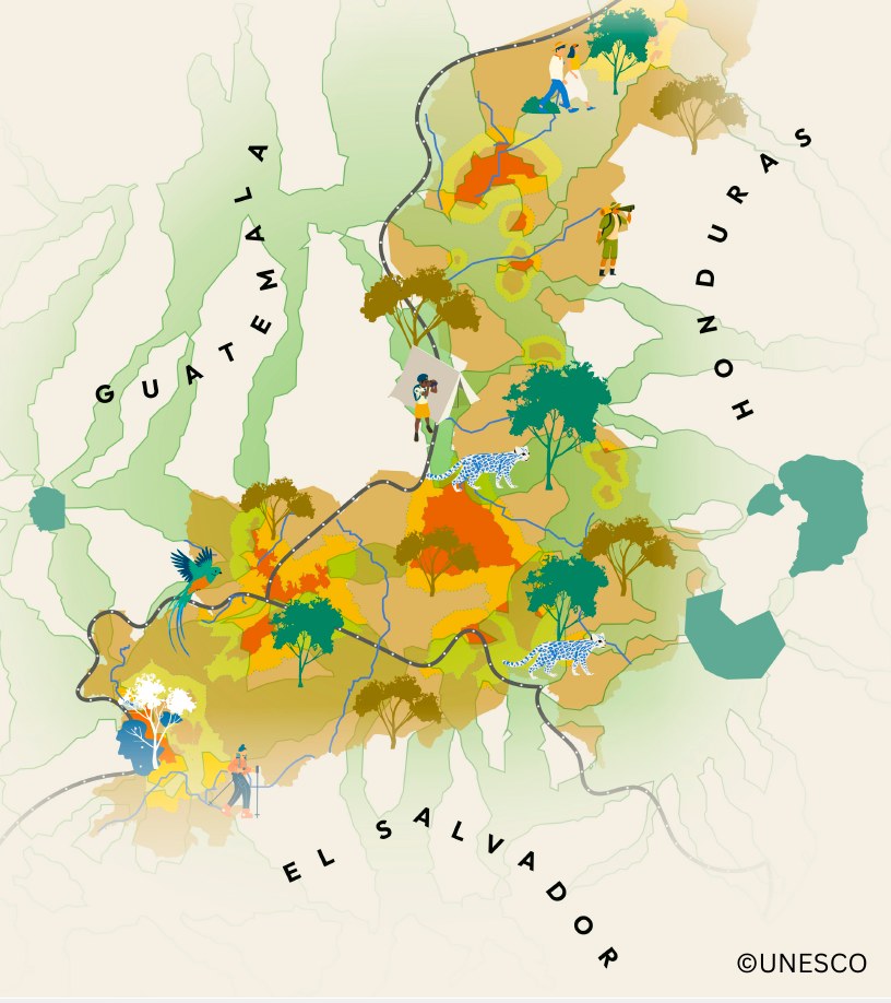
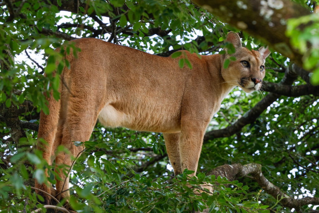
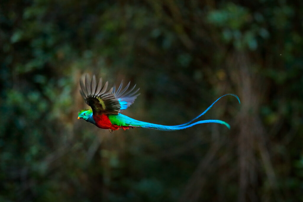
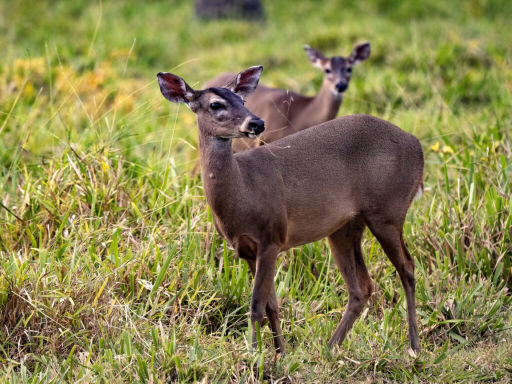
The Trifinio-Fraternidad Transboundary Biosphere Reserve (TFTBR) is a land of steep mountains covered by dense tropical forest, home to iconic species such as quetzal and puma, small cities and rural villages, and a thriving coffee-growing economy. Spanning parts of Guatemala, Honduras, and El Salvador, the TFTBR is a model in transboundary environmental governance, established primarily to safeguard vital water sources that originate in the mountains and flow to major population centers in all three countries.
In 2025, the Center for Large Landscape Conservation worked with UNESCO and partners in the TFTBR on the project “Scaling up Connectivity in the Trifinio-Fraternidad Biosphere Reserve.”
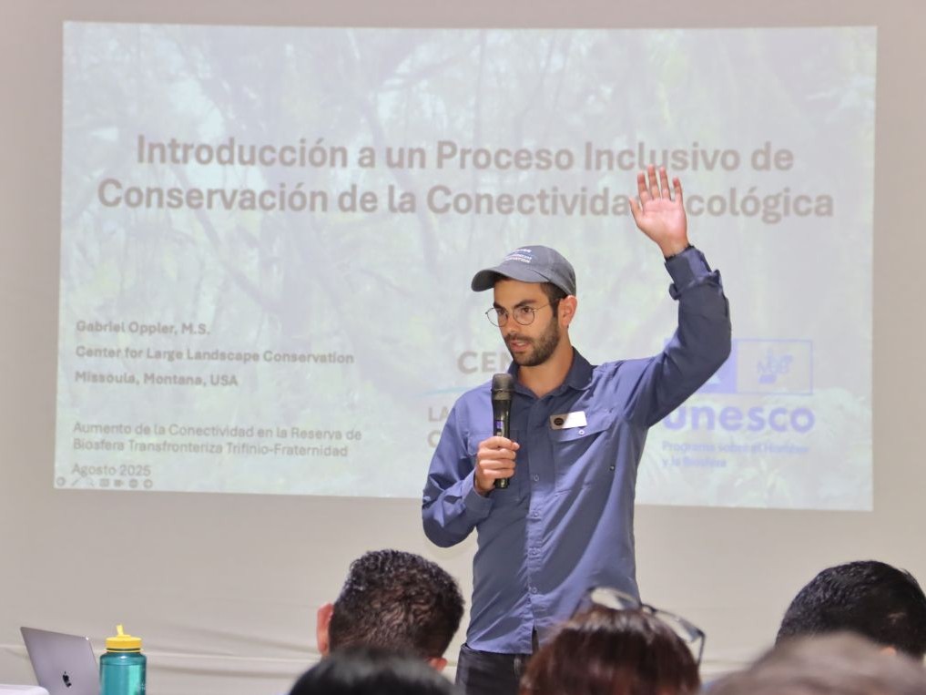
“We aimed to strengthen ecological connectivity and landscape resilience by combining science, local knowledge, and community priorities,” said Gabriel Oppler, International Connectivity Specialist at CLLC. “It also enabled cross-border cooperation for biodiversity conservation and sustainable land use in one of Central America’s most vital ecosystems.”
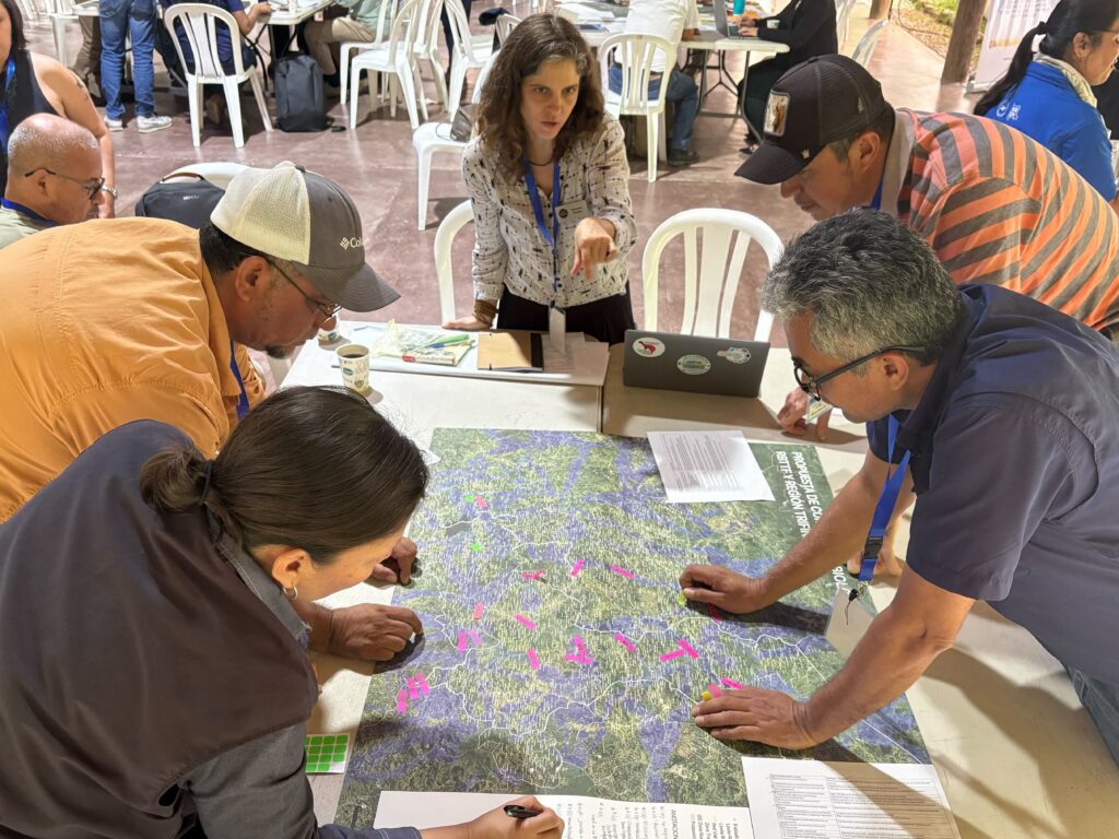
Oppler helped facilitate these workshops and visited reserves and national parks to better understand the landscape’s priorities and challenges. Reconvening for a trinational workshop in November, Oppler was joined by CLLC’s Linear Infrastructure Ecology Advisor Fernanda Teixeira. Participants worked together to prioritize ecological corridors—connections between habitat that allow animals to move and other ecological processes to flow—and identify specific land management actions in each corridor.
Production of corridor maps combining science, local knowledge, and community priorities
In between workshops, UNESCO and its scientific team at the University of Heidelberg and CLLC used stakeholder feedback to generate different structural connectivity models for the biosphere reserve. These models indicate areas which are likely to be easiest for wildlife to move across the landscape. The models integrate satellite imagery and around 30 datasets on factors like urban development, linear infrastructure like roads, or agricultural zones.
“The modelling involved determining the path of least resistance for species movement between the core areas of the TFTBR, nearby protected areas and other biosphere reserves, assuming that species move more freely across intact habitats like forests and other types of vegetation than across more modified lands,” explained Oppler.
The way forward: implementation of ecological corridors at scale in the biosphere reserve
In only eight months, this project laid the foundations for the implementation of ecological corridors by involving a wide range of actors, institutions, and stakeholders engaged in the TFTBR across the three countries. The products developed include:
- Definition of a shared vision for ecological connectivity, including key focal species, conservation values and challenges to guide corridor planning.
- 2025 land-use and land-cover map (validated on the ground) covering the TFTBR and surrounding areas to support planning and analysis.
- Structural connectivity models and maps using LinkageMapper and Omniscape to support connectivity planning.
- Co-constructed corridor prioritization framework to guide priority conservation actions to be implemented in the coming years.
- Multi-level connectivity funding plan based on sustainable development and biodiversity conservation initiatives.
- A set of indicators measuring the current state of ecological corridors to allow monitoring of changes over time.
The project has also produced colorful and informative materials to engage local communities, including a 14-page brochure and poster, as well as videos such as the one below.
Building on this momentum, UNESCO and its partners will move forward in the coming year with a larger-scale initiative to turn collaboration into actions, supporting ecological restoration, protecting biodiversity and creating durable economic opportunities for communities in and around the Biosphere Reserve.
This project was funded by the Kunming Biodiversity Fund (KBF) and Spain’s Autonomous Agency for National Parks (OAPN).
Check out this video, which features CLLC International Connectivity Specialist Gabriel Oppler and CLLC Linear Infrastructure Ecology Advisor Fernanda Teixeira talking about the project:
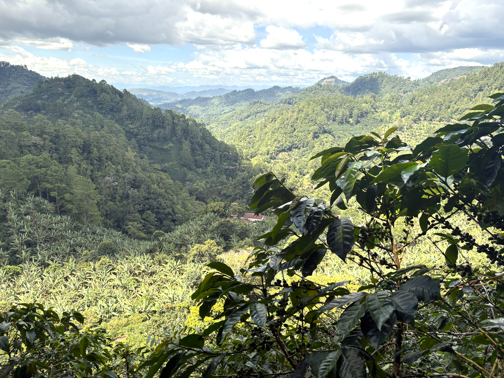
Top photo: Within the biosphere reserve and adjacent to Montecristo National Park in El Salvador, many producers grow coffee under the shade of banana trees and other tall trees, resulting in more flavorful coffee beans. Credit: CLLC/Gabriel Oppler