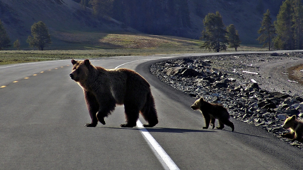
Most motorists would agree that roads and animals can be a dangerous mix. Crashes involving wildlife are often deadly for animals and, in some cases, may also cause serious injury or death to humans. Efforts to reduce the risk of animal-vehicle collisions most often focus on human safety, but what if transportation officials and conservation scientists worked together to address dangers to both people and wildlife? The Center for Large Landscape Conservation collaborated on a recently published study that sought to answer that question.
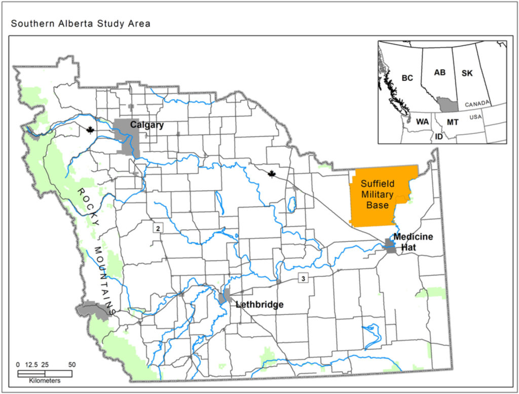
The journal Conservation Science and Practice published the peer-reviewed article “Prioritizing human safety and multispecies connectivity across a regional road network” in November 2020. The eight authors of the article—which assessed animal-vehicle collision risk on the major road network in southern Alberta, Canada—included CLLC’s Spatial Ecologist Tyler Creech. Creech and CLLC’s Senior Conservationist Rob Ament helped to design the study, analyze data, and write the manuscript.
“Road mitigation decisions are usually made by transportation departments whose primary mandate is to address motorist safety. Wildlife connectivity needs are usually not considered until late in the planning process,” explains Creech, “but early cooperation between transportation and wildlife agencies can lead to greater benefits to both motorists and wildlife.”
The researchers used carcass and crash data from a seven-year period and compared it to movement corridors for mule deer, grizzly bears, pronghorn, and prairie rattlesnake. From the data, they mapped animal-vehicle collision (AVC) “hotspots”—road sections with especially high risk of collisions.
Key Findings and Recommendations
Researchers created models of wildlife movement corridors to see if AVCs were most prevalent in the most likely road-crossing zones. Instead they found that a higher risk of collisions was most associated with greater vehicle traffic. Collisions involving large‐bodied mammals were most common around large urban centers where “a combination of high traffic volume and abundant deer populations intersect to create a ‘perfect storm’ for AVCs, a pattern that has been reported elsewhere.”
So while the study sought to demonstrate the value of collaborative planning, it also illustrates the complexity. The researchers found very little overlap between road sections with high motorist safety risk and those with high wildlife connectivity value, suggesting that priorities based solely on motorist safety will fail to address wildlife needs.
“Results of our study have important implications for the conservation of species such as grizzly bear, prairie rattlesnake, and pronghorn.”
Tyler Creech, article co-author
Key recommendations from the study are to incorporate cross‐agency collaboration early in the transportation planning process and to prioritize not only road sections with a high rate of collisions, but also road sections believed to be preferred crossing locations for species for which road mortality or population fragmentation are concerns.
“Results of our study have important implications for the conservation of species such as grizzly bear, prairie rattlesnake, and pronghorn,” says Creech. “As their natural movement corridors become more fragmented by roads and other development, mitigation measures are needed to ensure that the southern Alberta landscape remains connected for these species.”
Next Steps
The mapping of priority sites in the study should help Alberta Transportation and Alberta Environment & Parks design strategies that meet the mandates of both agencies. For example, the results identify “mitigation neighborhoods” that agencies and researchers could examine in more detail with fine-scale, animal-road interaction data from camera trapping or animal-tracking studies. These additional data could be instrumental in planning for individual mitigation measures, such as underpasses and wildlife-exclusion fencing.
The Miistakis Institute led the study and participants included the Center for Large Landscape Conservation, National Wildlife Federation, Alberta Conservation Association, U of Alberta Edmonton, U of British Columbia Kelowna, Alberta Transportation, and Alberta Environment & Parks.
For More Information
Read the article “Prioritizing human safety and multispecies connectivity across a regional road network”